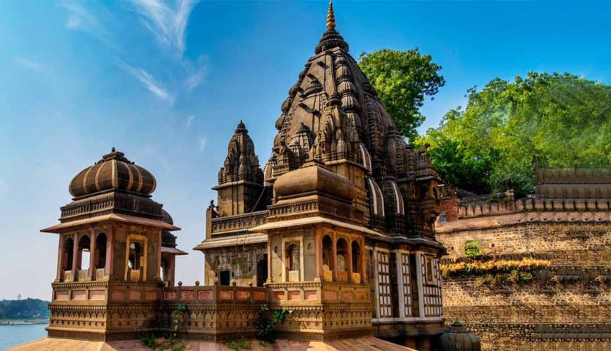
Rajasthan
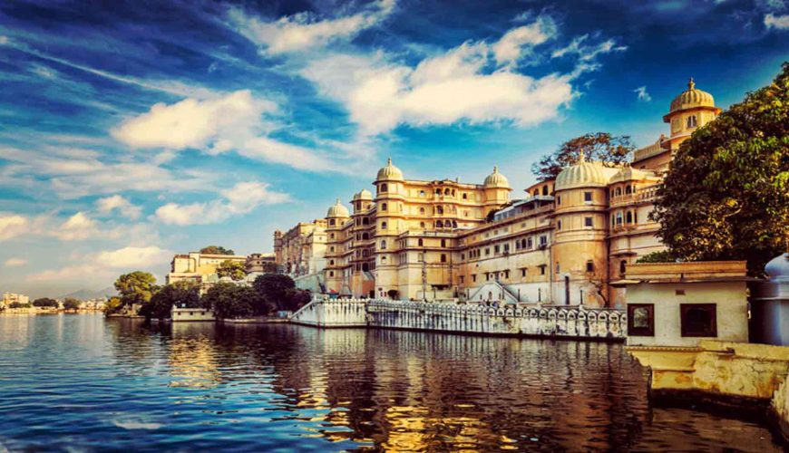
Rajasthan, sometimes known as the “Land of Kings” or “Land of Kingdoms,” is India’s largest state in terms of land area. The state is located in the northwest corner of the country and is a haven for cultural diversity. Its highlights include Indus Valley Civilization remains, temples, forts, and fortresses in practically every city.
Punjab
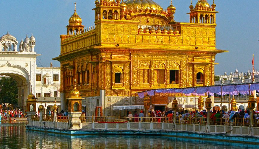
Punjab is one of India’s most prosperous states, located in the northwest region. The name Punjab is derived from the terms Punj (Five) and Aab (Water), which means “Land of Five Rivers.” Sutlej, Beas, Ravi, Chenab, and Jhelum are the five rivers of Punjab. In modern-day Punjab, only the Sutlej, Ravi, and Beas rivers flow.
Odisha
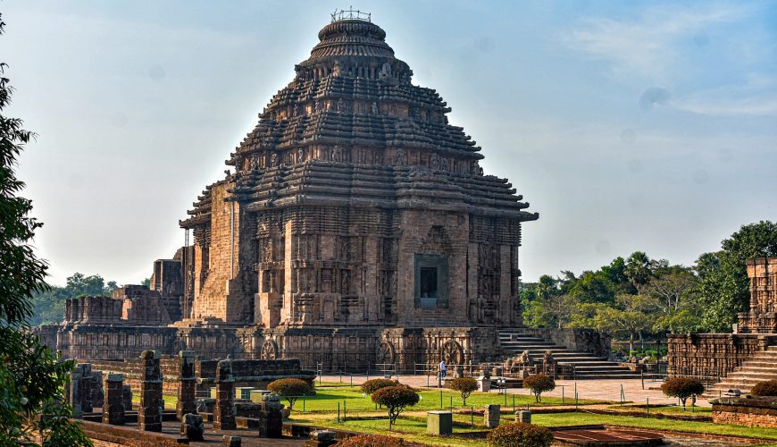
Odisha is one of India’s 29 states, located on the country’s eastern coast. Odisha has 485 kilometres (301 miles) of coastline on the Bay of Bengal’s east coast, stretching from Balasore to Malkangiri. It is the ninth-largest state in terms of land area and the eleventh-largest in terms of population.
Nagaland
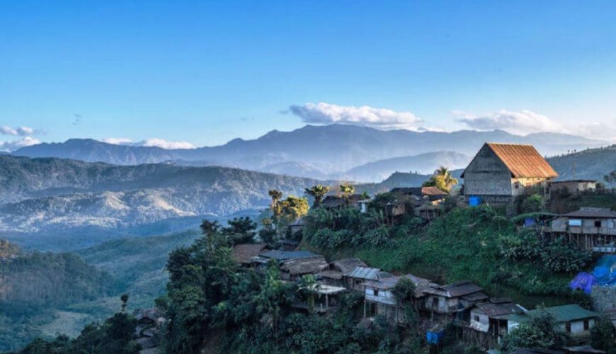
Nagaland was formally inaugurated as the 16th state of the Indian Union on December 1, 1963. It is flanked on the west by Assam, on the east by Myanmar (Burma), on the north by Arunachal Pradesh and part of Assam, and on the south by Manipur.
Mizoram
Mizoram (“Land of the Mizos”) was previously known as the Assam Lushai Hills District until being renamed the Mizo Hills District in 1954. Mizoram became a centrally managed union territory in 1972, and it acquired statehood in 1987. 8139 square miles (21,081 square km).
Meghalaya
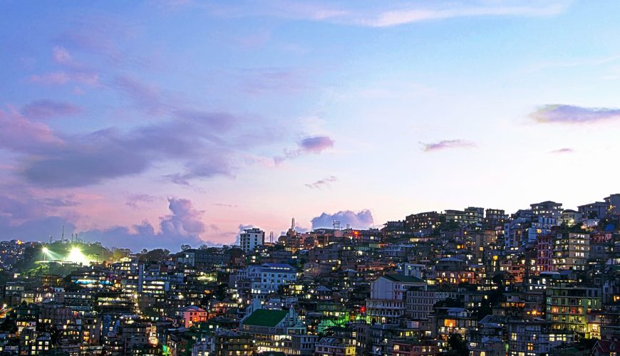
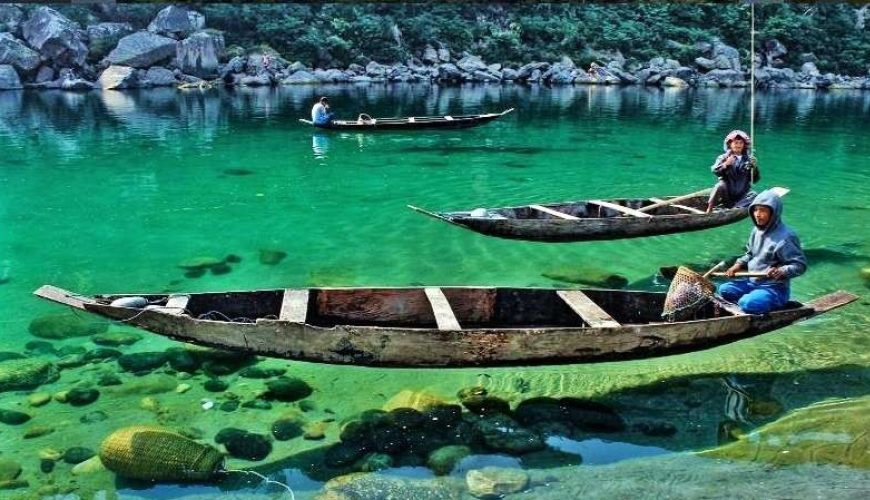
Meghalaya is an Indian state located in the country’s northeast. It is bounded to the north and northeast by the Indian state of Assam, and to the south and southwest by Bangladesh. Shillong, a hill town in east-central Meghalaya, serves as the state capital.
Manipur
Manipur is flanked on the north by Nagaland, on the south by Mizoram, on the east by Mynamar, and on the west by the Cachar district of Assam. The state is separated into two sections, the hills and the plains. The eastern arm of the Himalayas, particularly its lower hills, is an important aspect of […]
Maharashtra
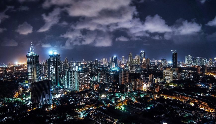
Maharashtra is the third-largest state by land size, accounting for 9.36 percent of India’s overall geographical area, with a total area of 307,713 km2 (118,809 sq mi). The state is located between latitudes 15°35′ N and 22°02′ N and longitudes 72°36′ E and 80°54′ E.
Madhya Pradesh
The state’s overall geographical area is presently 308 thousand square kilometres. Madhya Pradesh is located in the centre of India, bordered by five states: Rajasthan, Maharashtra, Gujarat, Chhattisgarh, and Uttar Pradesh.
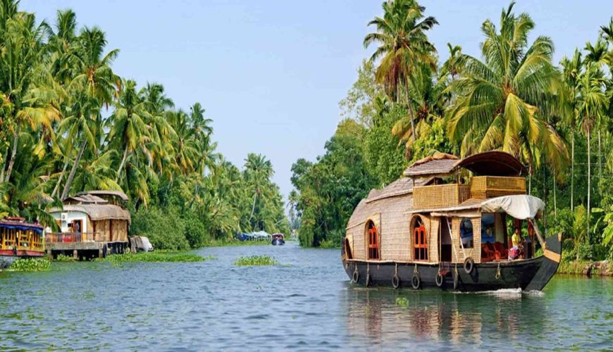
Kerala
Kerala is one of India’s smallest states in terms of land area. It accounts for only 1.3% of India’s total land area. The state is located in India’s southwest portion. Karnataka and Tamil Nadu border it on the north, east, and south, with the Arabian Sea on the east.

