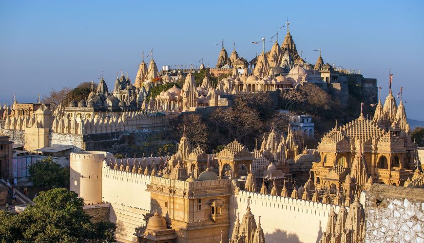
Jharkhand
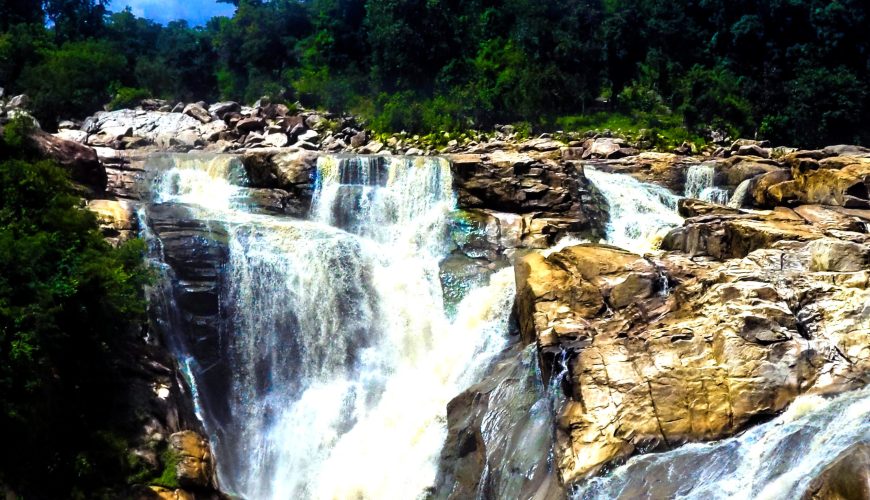
The Chota Nagpur Plateau is the source of the Koel, Damodar, Brahmani, Kharkai, and Subarnarekha rivers, the upper basins of which are in Jharkhand. The forest still covers a large portion of the state.
Karnataka
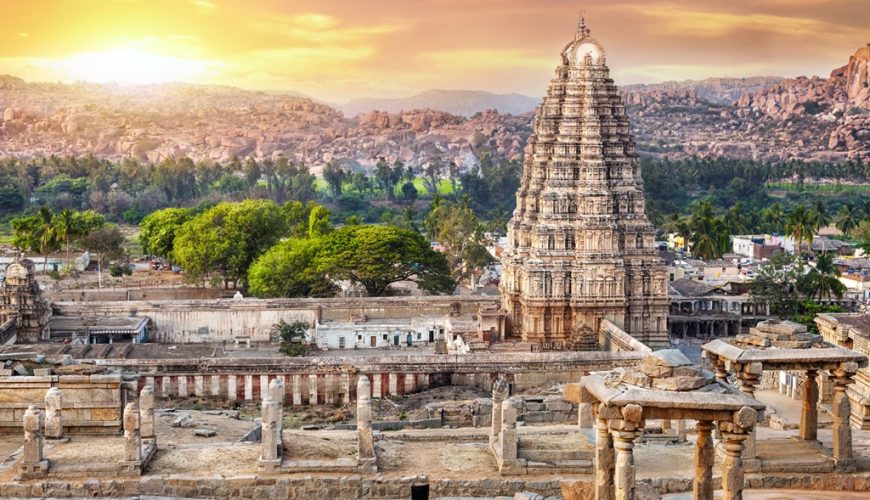
With the adoption of the States Reorganisation Act on November 1, 1956, it was constituted as Mysore State and renamed Karnataka in 1973. In British terms, the state was part of the Carnatic area. Bengaluru (Bangalore) is its capital and largest city.
Himachal Pradesh
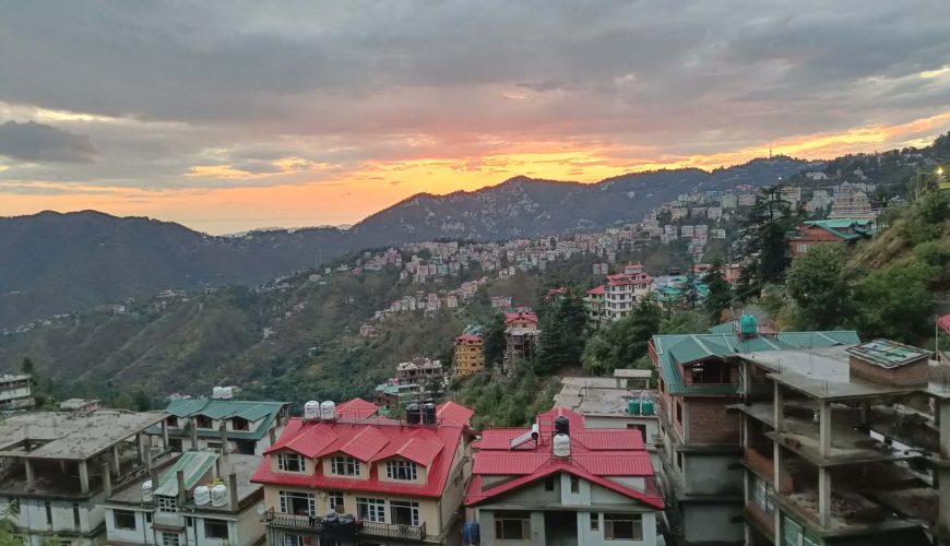
Himachal Pradesh became a Union Territory in April 1948 as a result of the union of 30 princely states spread across 27,000 square kilometres. When another C”class state, Bilaspur, united with Himachal Pradesh in 1954, its area expanded to 28,241 sq.km. Until 1966, the position remained unaltered.
Haryana
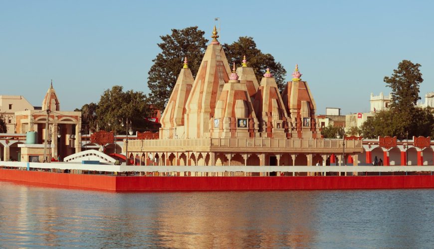
Haryana became a distinct state in the Indian Republic’s federal system on November 1, 1966. With only 1.37% of the entire geographical area and less than 2% of India’s population, Haryana has distinguished itself over the last three decades.
Gujarat
Gujarat is located on India’s western coast and boasts the country’s longest coastline, stretching 1,600 kilometres. It is bounded to the northwest by Pakistan and to the north, east, and southeast by the Indian states of Rajasthan, Madhya Pradesh, and Maharashtra.
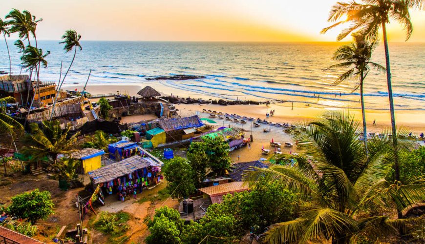
Goa
It is located on India’s western coast, flanked by the states of Maharashtra and Karnataka. It has a coastline of 65 miles (105 km) on the Arabian Sea and includes the outlying island of Goa. It was ruled by Hindu kings and Muslim sultanates until the late 15th century, when it was taken over by […]
Chhattisgarh
Chhattisgarh is an Indian state in east-central India. It is surrounded to the north and northeast by Uttar Pradesh and Jharkhand, to the east by Odisha (Orissa), to the south by Telangana (previously part of Andhra Pradesh), and to the west by Maharashtra and Madhya Pradesh. Raipur is its capital.
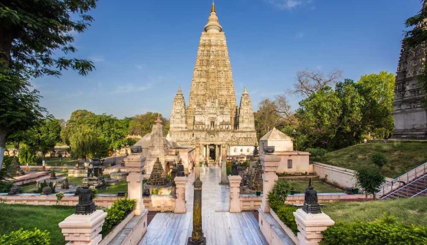
Bihar
Bihar is located in eastern India, bordering Uttar Pradesh, Jharkhand, and West Bengal. The state has a land area of 94,163 square kilometres and a population of more than 104 million people. Bihar has the third highest population density in India, at 110 persons per square kilometre.
Assam
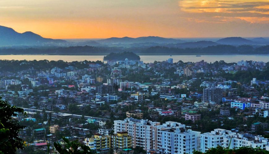
Assam is located in North-Eastern India and is the largest northeastern state in terms of people and land. Assam has a land area of 78,438 km2 (30,285 square miles).
Arunachal Pradesh
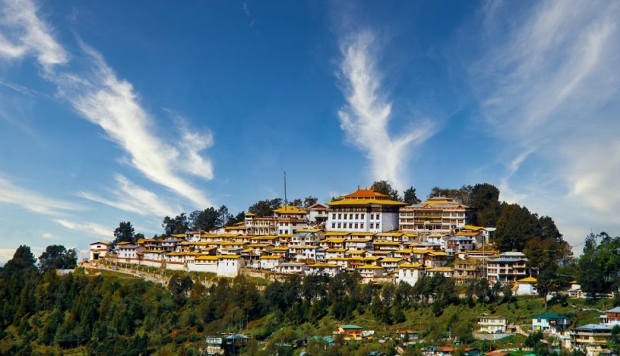
The state of Arunachal Pradesh, originally known as the North Eastern Frontier Agency (NEFA), is renowned as “The Land of the Rising Sun.” The state lies in northeastern India, bordered by China to the north, Assam and Nagaland to the south, Myanmar to the southeast, and Bhutan to the west.

